The Spreewald, about 100 kilometres southeast of Berlin, is a unique landscape. As a result of the last ice age, the Spree divided into an extensive network of watercourses here. A large inland delta with wet meadows and forests and over 1,500 kilometres of watercourses was created.
This area not only provides space for storks, otters or dragonflies, but for many centuries the entire area and its waterways have also been used by people, and small farmsteads have sprung up in a mosaic-like pattern. Traditions, ways of life and work that are closely connected to the near-natural floodplain landscape have been partly preserved until today.
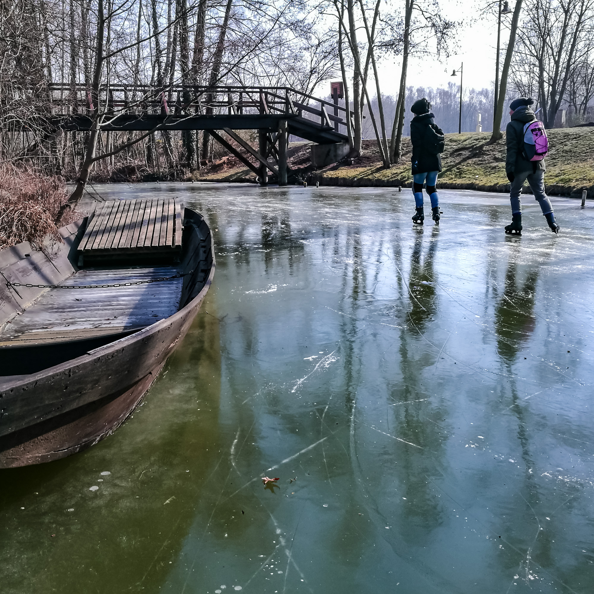
When the waters freeze over in winter, they are a popular destination for skaters.
Information about taking this photo
- Camera: Smartphone Huawei P9
- Focal length: 4.5mm
- Aperture: ƒ/2.2
- Shutter speed: 1/480s
- ISO: 50
- Location: 51° 56.3441′ 0″ N 13° 53.8556′ 0″ E
- Caption: dav
Where to find this location
Travelers' Map is loading...
If you see this after your page is loaded completely, leafletJS files are missing.
If you see this after your page is loaded completely, leafletJS files are missing.
All contents of this website, in particular photographs, are protected by copyright. The copyright is held by Frank Heller/Berlin, unless explicitly stated otherwise. Please ask me if you wish to use the contents of this website. Content published under the "Creative Commons" licence is marked as such. They may be used in accordance with the stated licence conditions. Anyone who infringes copyright (e.g. copies images or texts without permission) is liable to prosecution under sections 106 et seq. of the Copyright Act (UrhG), will also be issued with a warning and must pay damages (section 97 UrhG).